NRS
RiverMaps Salt River Arizona Guide Book
MSRP
Product Information
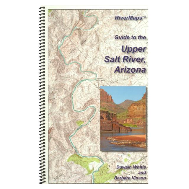
The Guide to the Upper Salt River is a must-have guidebook for your trip down Arizona's Salt River. Durable and waterproof, with USGS maps and excellent descriptions of river features.
- This book covers the entire permitted portions from the put-in at Highway 60 through the South Gleason River Access to the take-out at Highway 288 on the Upper Salt River.
- Spiral bound format with full color topo maps on right side and complete text descriptions on the facing page.
- Color photos highlight some of the river's more famous attractions and features.
- Excellent mile by mile information on rapids, campgrounds, geological features, historical sites and reference points.
- The topo maps are the same scale as the original USGS maps. The contour lines and accurate shape of the river really help you keep track of where you are.
- High quality waterproof, tear-resistant paper handles the splash and abuse of negotiating rivers.
- This guidebook also includes numerous side hikes and interesting features away from the river.
- Includes info pages on frequently asked questions about boating the river, area geology, archaeology, resources protection and plants found along the river, as well as emergency contact information.
Authors: Duwain Whitis & Barbara Vinson
Copyright: 2014
Size: 9"W x 14"H waterproof paper
Pages: 27
Map Pages: USGS 7.5" color topo reproductions
Scale: 2,000 feet per inch (1:24,000)
Product Reviews
There are no reviews yet for NRS: RiverMaps Salt River Arizona Guide Book .
Write a Review